
Our Services
Survey Services for Complex Conditions
Supported by modern field instruments and a multidisciplinary team of experts, we deliver geological, geophysical, geotechnical, and water data for decisions across Indonesia.
Drone-based aerial mapping for capturing high-resolution imagery, terrain data, and spatial documentation. This service supports site planning, progress monitoring, volume estimation, route studies, and mapping in accessible or hard-to-reach areas, with outputs that can support GIS, CAD, and engineering workflows.

Ground-based topographic measurement to record land elevations, boundaries, natural features, structures, and existing site conditions. The survey supports engineering design, construction planning, land development, road alignment, drainage planning, and technical documentation where accurate surface position and elevation data are required.

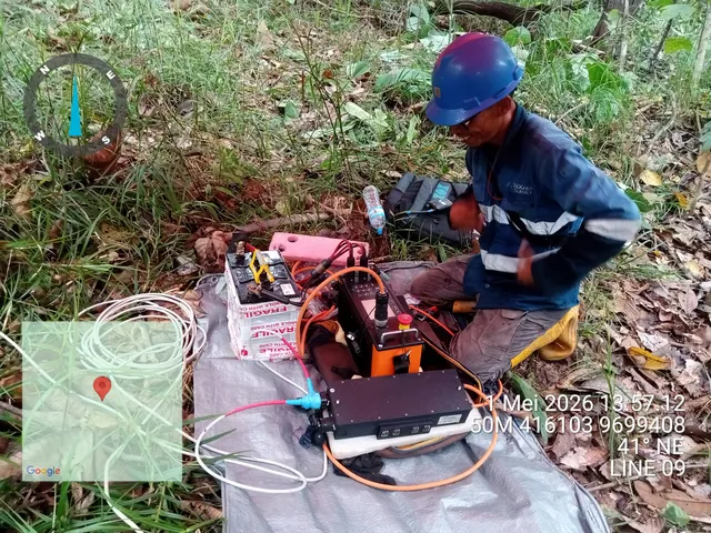
Subsurface investigation using resistivity and induced polarization methods to model underground materials, water-bearing zones, cavities, mineral potential, and geotechnical conditions. The data can be interpreted in 1D, 2D, or 3D to support exploration, groundwater assessment, and engineering decision-making.
Ground penetrating radar survey for identifying shallow subsurface objects and anomalies without excavation. It is commonly used to detect utilities, pipes, cables, foundations, voids, bedrock, leakage paths, and cracks, with antenna frequency selected according to target depth and field conditions.

Marine geophysical survey for underwater investigation using equipment such as sub-bottom profiler, side scan sonar, magnetometer, and gradiometer. This service supports offshore development, dredging, seabed characterization, coastal infrastructure, pipeline routes, and marine construction planning where subsurface and seabed information is required.

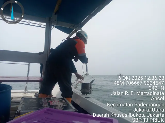
Hydrographic and oceanographic survey to measure water depth, tides, currents, seabed features, and marine conditions. The results support navigation, dredging, nearshore drilling, port planning, coastal protection, and marine construction by providing reliable data about water areas and dynamic coastal environments.
Groundwater-focused study covering hydrogeological mapping, borehole camera inspection, and pumping test analysis. This service helps identify aquifer conditions, groundwater potential, flow behavior, and subsurface water risks for water supply, construction planning, dewatering, and environmental or resource assessment projects.

Field mapping to describe rock types, rock distribution, geological structures, landforms, and relationships between rock units. The results help project teams understand site geology, assess natural resource potential, support engineering interpretation, and identify geological constraints before construction, exploration, or development work.

Testing of ground thermal and electrical properties to support the design of underground pipelines, transmission cables, grounding systems, and critical infrastructure. The results help evaluate heat dissipation, corrosion risk, electrical performance, and soil behavior so premature failure can be reduced during operation.
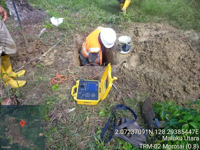
Geotechnical soil investigation using methods such as core drilling, sondir, CPTU, and plate loading test. This service evaluates soil stratigraphy, bearing capacity, settlement potential, and foundation conditions to support structural design, infrastructure development, slope work, and construction risk assessment.

Water resources analysis for understanding rainfall-runoff behavior, flood potential, discharge, water availability, drainage performance, and reservoir sedimentation. This service supports hydraulic structure planning, river studies, watershed assessment, infrastructure design, and water management decisions based on field measurements and technical interpretation.

Seismic investigation using methods such as seismic refraction, MASW, downhole seismic, and cross-hole seismic. The survey helps evaluate shallow subsurface layering, velocity models, rock competency, weathered zones, and soil class to support foundation studies, infrastructure planning, and geotechnical interpretation.

Not Sure Which Survey You Need?
Share your site conditions and project goals. Our team will recommend the most suitable method and scope.